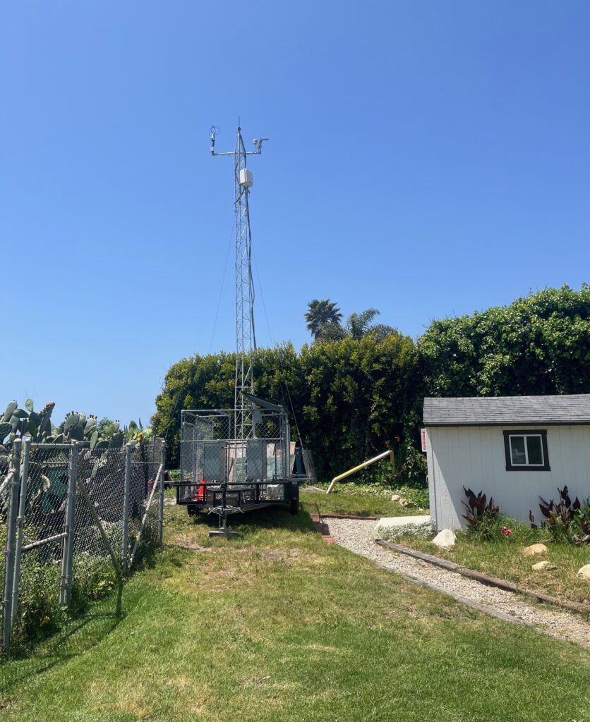
The meteorology trailer, which includes a 30 ft antenna, is part of the Summerland Oil Mitigation Study (SOMS) managed and led by Bubbleology Research International (BRI). Heal the Ocean is providing the funding and additional technical expertise to the project which is led by Dr. Ira Leifer, Principal Scientist and owner of BRI. The results of the study will be provided to the California State Lands Commission.
The Summerland Oil Mitigation Study will map the geology, sources, and infrastructure of the Summerland region with a focus on three key areas. Each will be mapped in a graphical information system as an “overlay.”
These areas are:
- Geology Map Layer- Related Geological and geographic mapping.
- Infrastructure Map Layer- Known wellheads, pipes, and survey-identified wellheads, pipes, etc.
- Map of Sources Layer- Sea-bed oil and gas sources from seepage and leakage.
The meteorology trailer is designed to gather data on the air quality, weather, and gas that is emitted from the area. The data analysis is in support of area three; Maps of Sources Layer. The data from this installation will be used in conjunction with data from another meteorology trailer that is positioned at Lookout Park. The analysis will show concentrations measured from onshore winds, thus on-site activities and any related emissions (emissions from US101 do not affect the data). The system is completely autonomous and doesn’t use onsite electricity.
Given the critical nature of sea-bed sources, it is important to monitor the area during the process of abandonment and post-abandonment of oil wells. This approach will significantly improve risk assessment during the planning and execution phases of future well abandonments.
If you have any questions about this program, please call
Bubbleology Research International (BRI)
1-805-683-3333